Canadian Property Intelligence

Public property data, aggregated.

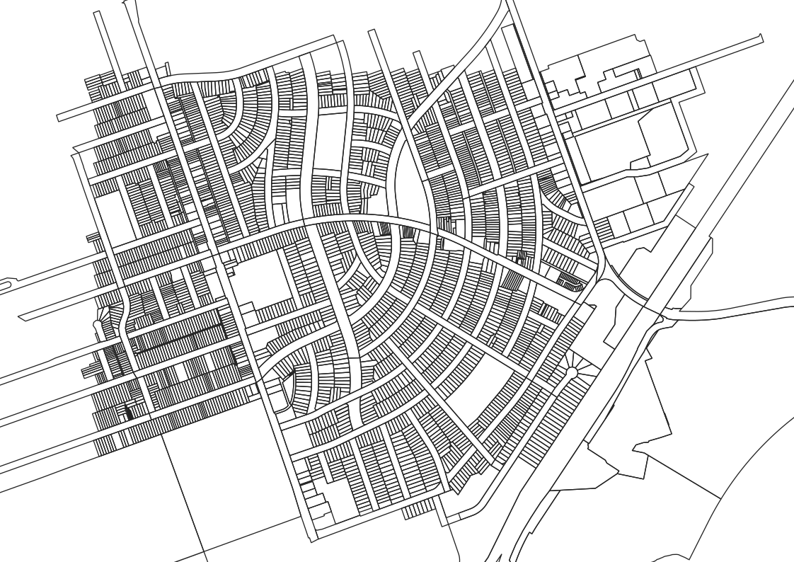
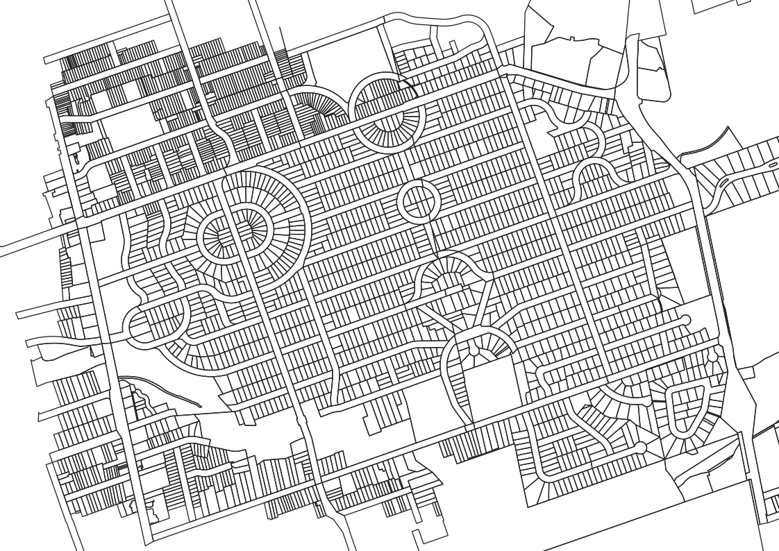
Zoning, parcels, assessments, and transactions — drawn from the public data services of the authorities that maintain them, rendered on a single map.

9 Provinces & Territories
Province-wide parcel data
350+ Layers
Cadastral · Zoning · Assessment
Shareable Links
Communicate with others
Export Maps
Save and print
About

Context is scattered. Treadwell organizes it.

Real estate is the largest industry in Canada, but one of the least transparent. Much of the data is public, but difficult to coordinate. It is maintained by hundreds of separate authorities, in different formats, across different systems.

Treadwell brings these fragments into a single, structured view so decision makers are more likely to have the context needed to make informed decisions.

Why Treadwell exists — Adam Thorne, AACI


Tools

Treadwell Terminal

An interactive map interface for querying Canadian property at the parcel level. Click any parcel and a panel reveals its identifiers, boundary geometry, zoning designation, assessment values, and transaction record alongside spatial context — floodplains, setbacks, adjacent holdings, and the administrative layers that apply.

Search by address, PID, or roll number. Select multiple parcels to compare or export. Pan across provincial boundaries without changing tools — the terminal adapts to each jurisdiction's data structure and renders a consistent view.


Data

Available layers

01
Cadastral Boundaries
Parcel geometry from provincial land survey systems. Queried live from government map servers at the resolution maintained by the issuing authority.
02
Zoning Designations
Municipal zoning layers from each jurisdiction's own data service. Zone codes, descriptions, and bylaw references as published by the municipality.
03
Assessment Data
Assessed and taxable values, building characteristics, and land size from provincial assessment authorities. Linked to parcels by assessment identifier.
04
Transaction History
Property transfers and sale records from provincial land registries. Date, consideration, and related parcels where the source authority provides them.
05
Spatial Analysis
Area measurement, distance calculation, and coordinate-based lookups. Multi-select parcels to compare or export. Computed from source geometry.
06
Cross-Province
A single interface across provincial boundaries. The terminal adapts to each province's data structure and renders a consistent view regardless of source format.

Coverage

Canada-wide coverage

Nine provinces and territories publish province-wide parcel data. In the remaining provinces, coverage is built jurisdiction by jurisdiction as cities and counties publish through standard geospatial services.

Zoning
Permits
Easements
Other
Swipe to see more

Approach

How the data flows

Each layer originates with the authority responsible for that data: zoning from the municipality, parcels from the provincial land survey, assessments from the assessment agency. The terminal surfaces what these authorities already publish — it does not generate new records or amend existing ones.

Treadwell operates under the open-data licences that each source publishes. Attribution is preserved, authority is acknowledged, and the original service remains the record of truth. For legal, transactional, or authoritative use, consult the source directly.

View full attribution


Treadwell Terminal

Search any address or PID across covered provinces.

Open Terminal
Disclaimer

Treadwell is an independent platform. It is not affiliated with, endorsed by, or operated on behalf of any government authority, municipality, assessment agency, or land registry. Information is presented for general reference and situational awareness, and is not a substitute for official records. Data may be cached, reprojected, or otherwise processed for display; the originating authority remains the authoritative record for legal, transactional, or regulatory purposes. Treadwell makes no warranty as to the accuracy, completeness, or currency of the information shown and accepts no liability for decisions made in reliance on it.